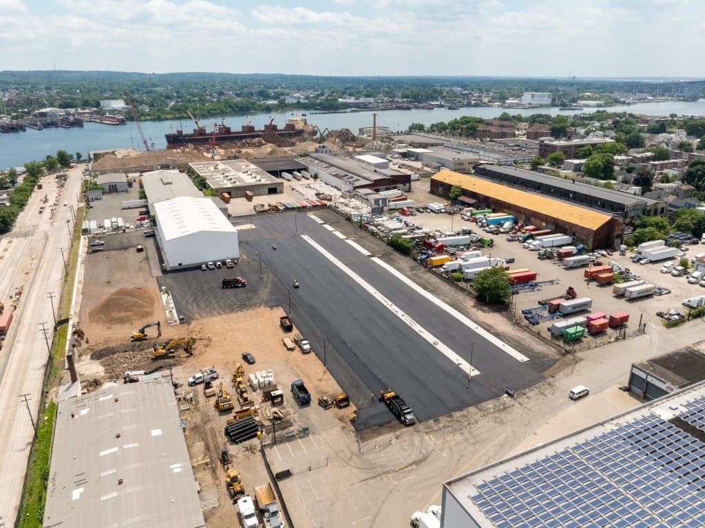
We track your project’s progress with precision—our aerial data can monitor construction milestones, streamline reporting, and keep stakeholders informed in real time.
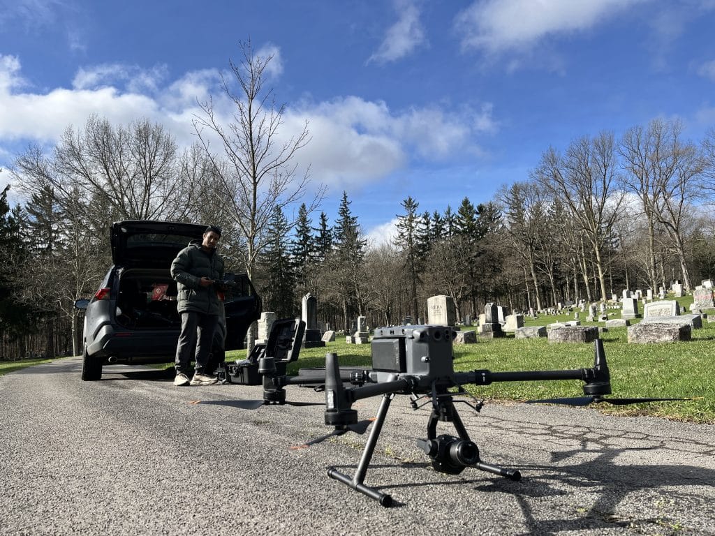
We deliver high-resolution aerial data for site surveying and inspections—offering faster, safer, and more accurate insights to support smarter project planning and decision-making.
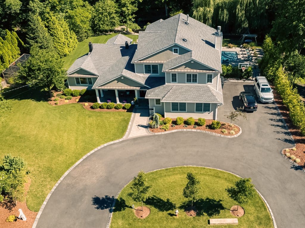
Our photography services provide professional, high-quality imagery tailored to capture the unique essence of your brand, event, or personal milestones with creativity and technical excellence.